
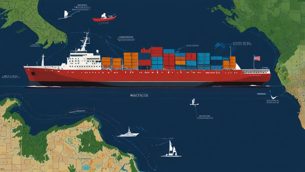
Have you ever watched a 1,000-foot freighter glide across Lake Superior and wondered, “How do they navigate that?” The answer lies in a community-driven tool called Boatnerd AIS—a digital window into the bustling, invisible highways of the Great Lakes. Powered by volunteers and cutting-edge tech, this free platform lets anyone track ships in near real-time, turning casual observers into maritime detectives.
What is Boatnerd AIS? (And Why Should You Care?)
Boatnerd AIS is like a social media feed for ships. Just as Instagram shares your location and activities, the Automatic Identification System (AIS) broadcasts a vessel’s position, speed, and destination. Managed by the nonprofit Great Lakes & Seaway Shipping Online, Boatnerd AIS aggregates this data into an easy-to-use map, updated every 10–15 minutes.
But here’s the twist: it’s not run by a tech giant. Instead, a network of volunteers maintains receivers along coastlines, capturing AIS signals from passing ships. This grassroots effort reflects the Great Lakes’ tight-knit maritime culture, where enthusiasts and professionals alike share a passion for the water.
How Boatnerd AIS Works: From Radio Waves to Google Maps
Let’s break down the journey of a single AIS signal:
- The Ship’s Broadcast: Large commercial vessels (over 65 feet) are required to transmit AIS data via VHF radio. This includes:
- GPS coordinates
- Speed and direction
- Ship name and cargo type
- Destination and ETA
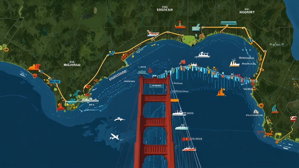
- Volunteers Capture the Signal: Enthusiasts like “Dave in Duluth” or “Linda in Port Huron” host AIS receivers on their rooftops or balconies. These devices pick up signals within a 20–40 mile radius.
- Data Goes Global: The signals are sent to Boatnerd’s servers, processed, and displayed on a Google Maps interface.
Fun Fact: The 10–15 minute delay isn’t for secrecy—it’s due to data processing and ensuring system stability.
Boatnerd AIS vs. Other Tracking Platforms: A Quick Comparison
| Feature | Boatnerd AIS | MarineTraffic | VesselFinder |
|---|---|---|---|
| Coverage | Great Lakes-focused | Global | Global |
| Cost | Free | Freemium (paid for extras) | Freemium |
| Data Source | Volunteer receivers | Satellite & terrestrial | Satellite & terrestrial |
| Update Frequency | 10–15 minutes | 2–5 minutes | 5–10 minutes |
| Community Features | Forums, ship photos | Limited | Limited |
Why choose Boatnerd? It’s tailor-made for Great Lakes devotees, with hyper-local data and a passionate community.
Who Uses Boatnerd AIS? (Spoiler: It’s Not Just Nerds)
- Maritime Enthusiasts: Track the SS Arthur M. Anderson (yes, the Edmund Fitzgerald’s companion) as it carries iron ore from Duluth to Detroit.
- Industry Pros: Shipping companies monitor fleet efficiency, while port authorities manage traffic.
- Educators & Students: Teach geography, economics, or environmental science using real-world data.
- Families: Plan a weekend “ship spotting” adventure along the St. Clair River.
Pro Tip: Pair Boatnerd AIS with a scanner app to listen to ship-to-shore communications. Suddenly, you’re part of the action!
The Unsung Heroes: Volunteer Receivers Keeping the System Alive
Without volunteers, Boatnerd AIS would go dark. Here’s how you can join them:
- Host a Receiver: Costs ~$200 for equipment. Ideal for lakeside residents.
- Submit Ship Photos: Contribute to their extensive database.
- Join the Forums: Share sightings, history, or technical tips.
Meet Betty, a Retired Teacher in Cleveland: “Hosting a receiver lets me feel connected to the lake, even in winter. Plus, my grandkids think I’m a spy!”
Limitations: Why Boatnerd AIS Isn’t Your Captain’s First Mate
While invaluable, Boatnerd AIS has caveats:
- Not for Navigation: Delays and map errors could risk safety.
- Smaller Vessels Missing: AIS isn’t required for boats under 65 feet.
- Weather Woes: Heavy fog or storms can disrupt signals.
Always cross-reference with official tools if you’re on the water.
Beyond Tracking: Boatnerd’s Mission to Preserve Maritime Culture
The AIS map is just one part of Boatnerd’s ecosystem. Dive deeper with:
- Historical Archives: Photos of iconic lakers from the 1920s.
- Events: Annual “Freighter Fanatics” meetup in Sault Ste. Marie.
- Education: Lesson plans on how the Lakes fuel the U.S. economy.
3 Ways to Try Boatnerd AIS Today
- Spot a Ship: Visit Boatnerd AIS Map and find the closest vessel to you.
- Join a Live Cam: Sync the map with the Port Huron Live Ship Cam.
- Share Your Find: Post a screenshot with #BoatnerdAIS and tag @GreatLakesShipping.
You May Also Like: Hamro Solar LLC: Powering Your Future with Sustainable Energy Solutions
Conclusion
In a world of satellite surveillance and AI, Boatnerd AIS reminds us that human curiosity and community still drive discovery. Whether you’re tracking a century-old ore carrier or just marveling at the scale of freshwater shipping, this tool turns the invisible visible—one VHF signal at a time.
FAQs
Is Boatnerd AIS free?
Yes! It’s funded by donations and volunteer labor.
Can I track ships worldwide?
No—it’s Great Lakes-focused. Try MarineTraffic for global coverage.
How accurate is the data?
Generally reliable, but don’t bet your life on it. Treat it as a guide.
Why volunteer?
Help preserve maritime history and connect with a passionate community.
What’s the coolest ship to track?
The MV Paul R. Tregurtha, the Lakes’ longest freighter at 1,013 feet!